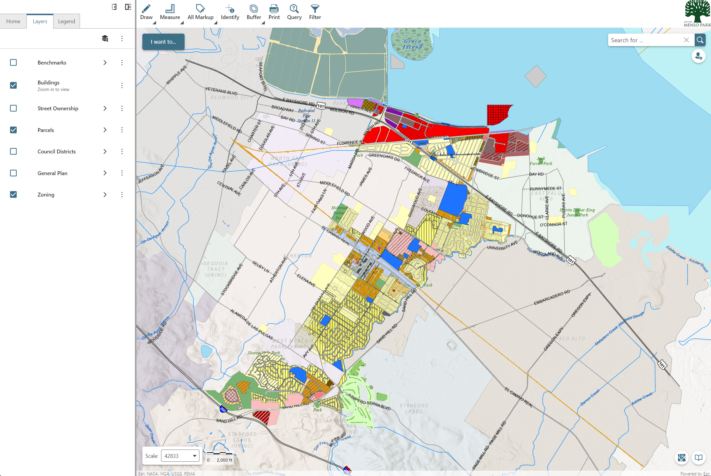
General Plan land use and zoning map
The General Plan Land Use and Zoning Map is a visual representation of the zoning districts and land use designations of specific parcels. The regulations that apply to zoning districts are available in the city's zoning ordinance.